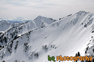
Photos of View (184)
There are (184) photos of the keyword, View, available on our website. They are pictured below.The pictures are organized by category.

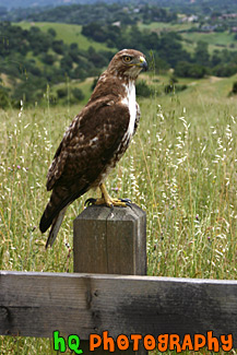
#1393 — A scenic vertical picture taken of a brown hawk sitting on a wooden fence post in Palo Alto, California.
Profile of a Hawk

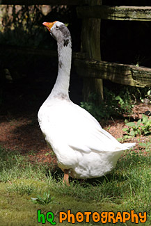
#883 — A scenic picture taken of the back or side view of a white goose found along the side of a road in Washington State. True geese are medium to large birds, always associated to a greater or lesser extent with water. Geese have been domesticated for centuries. In the West, farmyard geese are descended from the greylag, but in Asia the swan goose has been farmed for at least as long. All geese eat an exclusively vegetarian diet, and some can become pests when flocks feed on arable crops. Geese tend to lay a smaller number of eggs than ducks. However, both parents protect the nest and young, which usually results in a higher survival rate for the young geese, known as goslings.
Back of White Goose


#828 — A close up picture taken of a seagull swimming near the shore of the Puget Sound in Seattle, Washington. In this picture you can see the reflection of the duck in the waves of the water.
Seagull Swimming in Puget Sound

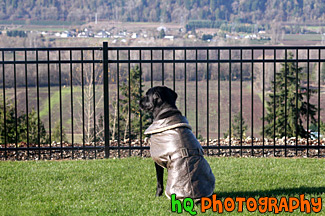
#772 — A scenic picture taken of a black lab dressed in a warm coat looking through a fence in its backyard. The dog is sitting on green grass looking down at a valley through the rod iron fence.
Dog Looking at View Through Fence


#212 — A photo of the side view of a husky. Huskies were bred to race and pull sleds in the snow. Huskies come from the snow and although they adapt well to different climates, they are happiest in cooler temperatures. In summer they often dig to keep cool and need plenty of shade and water. Huskies are very cat-like in their hygiene and only need to be washed every 2 months. Itís essential that Huskies have fish in their diet, this provides the omega 3 fatty acids which give them their lush coat.
Profile of a Husky

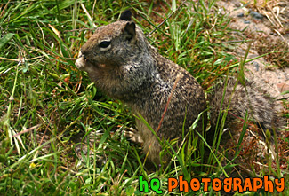
#385 — A picture of a squirrel eating something in the grass on the hills of Palo Alto, California.
Close up of a Squirrel


#1276 — A close up profile picture of a squirrel eating a cracker jack.
Profile Shot of Squirrel Eating

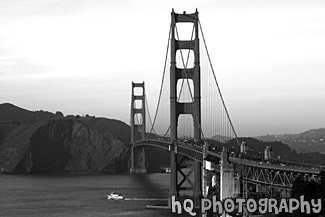
#302 — A black and white scenic photo taken of the Golden Gate Bridge in San Francisco from the Presidio. Today the Presidio is enjoyed through the history and beauty it contains. Within the Presidio boundaries there are more than 500 historic buildings, a collection of coastal defense fortifications, a national cemetery, an historic airfield, a saltwater marsh, forests, beaches, native plant habitats, coastal bluffs, miles of hiking and biking, and some of the most spectacular vistas in the world... not to mention the spectacular views of the Golden Gate Bridge.
Black & White Golden Gate Bridge

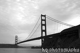
#345 — A scenic black and white picture taken of the Golden Gate Bridge in San Francisco, California on a cloudy day just before sunset. This photo was taken from the Marin County side of the bridge looking towards the Pacific Ocean showing the entire bridge in view.
Full Golden Gate Bridge View

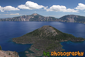
#2351 — A scenic picture taken of the blue waters of Crater Lake and Wizard Island. This photo was taken on a sunny summer day.
Crater Lake & Wizard Island

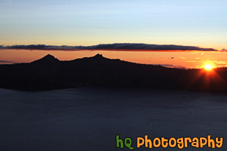
#2353 — A scenic picture taken of the sun setting at Crater Lake National Park in Oregon. In this photo you can see the orange sky from the sunset and the silhouette of the mountains surrounding the lake.
Crater Lake Sunset

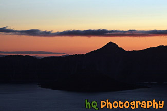
#2350 — A scenic picture taken of the sunset located at Crater Lake National Park in Oregon. In this picture you can see the orange sky of the sunset and the black silhouette of the mountains surrounding the lake.
Crater Lake Sunset Silhouette

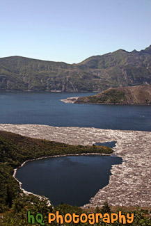
#1283 — A scenic vertical picture taken of Spirit Lake on a sunny day which is located right next to the Mount Saint Helens volcano in Washington State.
Vertical View of Spirit Lake

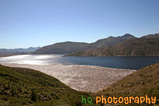
#1282 — A scenic view of Spirit Lake with the sun shining on it. Spirit Lake is located right next to Mt. Saint Helens.
View of Spirit Lake

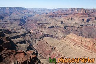
#2257 — A scenic picture of the Grand Canyon National Park taken at Desert View of the East Rim. In this photo you can see the Colorado River and a wide view of the canyon.
Desert View of Grand Canyon National Park

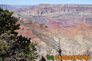
#2259 — A scenic picture taken of the Grand Canyon National Park from the East Rim near Desert View. This photo was taken during a sunny winter day as you can see blue skies above. A tree is seen in the foreground on the left side.
Grand Canyon & Desert View at South Rim

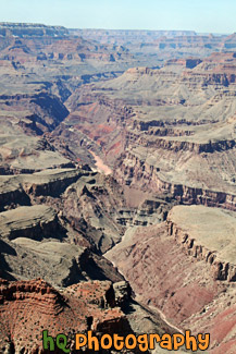
#2266 — A scenic vertical picture taken of the Grand Canyon National Park and the Colorado River which is seen briefly at the bottom of the canyon.
Grand Canyon & River From Desert View

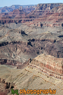
#2258 — A scenic vertical picture taken of the Grand Canyon National Park from Desert View located on the East Rim.
Grand Canyon From Desert View

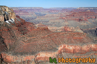
#2251 — A scenic picture taken of the Grand Canyon National Park from the South Rim. This photo was taken on a sunny day with blue skies seen above.
Grand Canyon National Park View

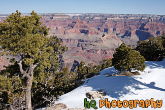
#2327 — A scenic picture taken of the Grand Canyon during March of 2010 when snow is still seen at the top. Green trees are seen in front of the snow and blue sky is above.
Grand Canyon Snow and View

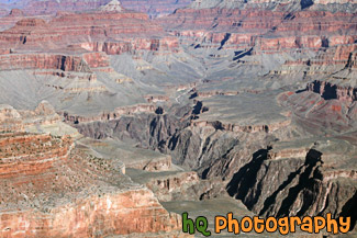
#2249 — A scenic picture taken of a big view of the grand canyon from the south rim just past the Yavapai Observation Station. This photo was taken on a sunny day at the park. You can see the Colorado River very faint at the bottom on the canyon in this photo.
Grand Canyon South Rim View

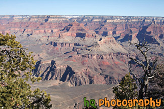
#2326 — A scenic picture taken of the Grand Canyon from the South Rim during March of 2010. Green trees can be seen in the foreground and blue sky is above.
Grand Canyon View

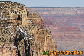
#2254 — A scenic close up picture taken of a wall of the grand canyon located on the south rim with blue sky seen above.
Grand Canyon Wall View

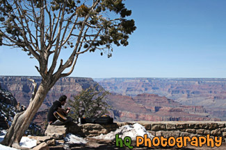
#2262 — A scenic picture taken of a man playing the guitar along the edge of the Grand Canyon located between the South and East Rims at Grandview Point. This photo was taken on a sunny winter day.
Man Playing Guitar Along Rim of Grand Canyon

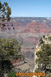
#2263 — A scenic vertical picture taken of the Grand Canyon and trees in the foreground at Maricopa point located on the South Rim.
Maricopa Point Grand Canyon View

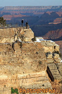
#2242 — A scenic vertical picture taken of two people looking at the view of the Grand Canyon near Mather Point at sunrise.
People Looking at View During Sunrise

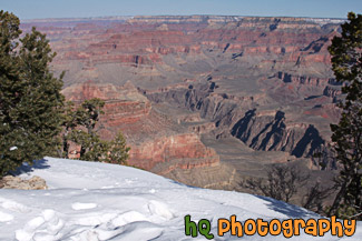
#2261 — A scenic picture taken of snow along the bank of the South Rim located at the Grand Canyon National Park on a sunny winter season day. Two trees are also seen in the foreground with the snow.
Snow Along South Rim & Canyon View

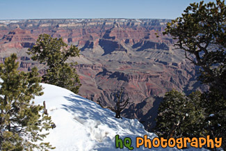
#2253 — A scenic picture taken of snow, trees, and a view of the grand canyon national park from the south rim. This photo was taken on a sunny winter day.
Snow, Trees, & Grand Canyon View

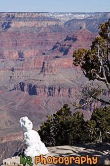
#2252 — A scenic vertical picture taken of a snowman that was built just along the edge of the South Rim at the Grand Canyon National Park. This photo was taken on a sunny winter day.
Snowman & Grand Canyon

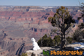
#2229 — A scenic picture taken of a snowman sitting at the rim of the Grand Canyon and looking at the view. This photo was taken in March during the winter season on a sunny day. A tree is seen next to the snowman.
Snowman Looking at Grand Canyon

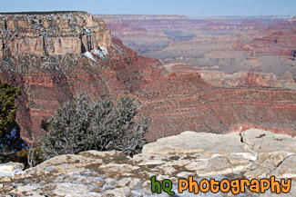
#2250 — A scenic picture taken of a view of the grand canyon national park from the south rim on a sunny blue sky winter day. This photo was taken near the Yavapai Observation Station.
South Rim Grand Canyon View

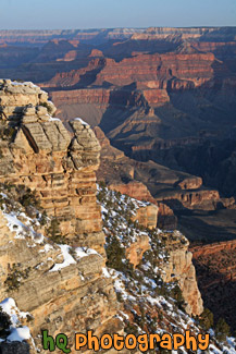
#2232 — A scenic vertical picture taken of a view of the grand canyon during sunrise from Mather Point on the South Rim.
Sunrise Grand Canyon View at Mather Point

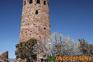
#2260 — A scenic picture taken of the Watch Tower located at Desert View on the East Rim of the Grand Canyon National Park. This photo was taken on a sunny winter day with blue sky seen above.
Watch Tower at Desert View

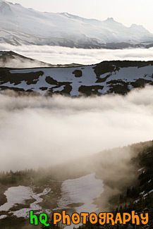
#1629 — A scenic picture taken of the Mt. Rainier National Park from a view located up at Mount Fremont lookout which is near the Sunrise area.
Mount Fremont Lookout View

#163 — A beautiful picture of Mt. Rainier shot during the beginning of June. This photo was taken near Paradise in Mt. Rainier's National Forest. "The Mountain", as it's known by natives, draws your eyes like a magnet when it is visible and not invisible behind clouds. It also draws over two million visitors each year. Mount Rainier and the surrounding foothills were designated as a national park in 1899.
Mount Rainier at Paradise Park

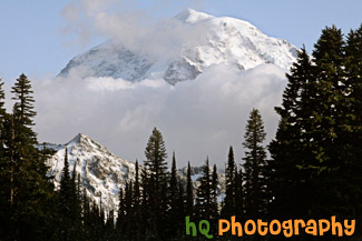
#1738 — A scenic close up picture taken of Mt. Rainier behind some clouds. The photo was taken from Eunice Lake which is located near the Carbon River entrance to the park.
Mt. Rainier in Clouds

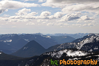
#1504 — A scenic picture overlooking the snow-capped hills of Mt. Rainier National Park. This picture was taken from a snowshoeing trail at Paradise on a partly cloudy day.
Snow Capped Hills from Paradise

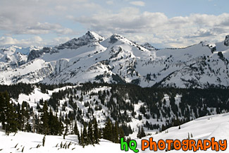
#1505 — A scenic picture taken of snow covered hills located in Mt. Rainier National Park. This picture was taken from a trail in the Paradise area on a partly cloudy winter day.
Snowy Hills

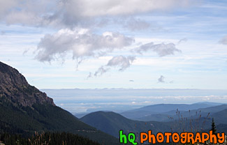
#1946 — A scenic picture taken of the hills and sky of the Olympic Mountains located along the coast in Western Washington State.
Hills of Olympic Mountains

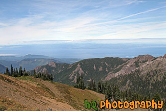
#1920 — A scenic view looking out towards the coast of the Strait of Juan de Fuca from a hike on top of a hill in the Olympic National Park.
Olympic National Park View

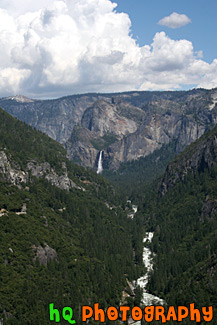
#435 — A scenic picture taken of Yosemite Valley on a beautiful partly cloudy day in Yosemite National Park located in California. Looking down you can see Merced Canyon and in the distance you can see a great view of Bridalveil Falls. Yosemite Valley is referred to as "the incomparable valley" and is seven miles long and one mile across at the widest point. It is the most visited section of the national park. The Valley was formed by glacial erosion over millions ofyears.
Yosemite Valley, California

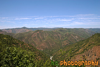
#456 — A scenic picture of the mountains and hills surrounding Yosemite National Park and the Tuolumne River flowing below. The Tuolumne River was designated Wild and Scenic in 1984 by the United State Congress. The Wild and Scenic Act provieds that rivers possessing extraordinary scenic, recreational, fishery, or wildlife values shall be preserved for the benefit and enjoyment of Forest visitors. It also limits land development surrounding these rivers and water diversion from them. The Tuolumne River begins as small rivulets trickling from Mount Dana and Mount Lyell in Yosemite National Park high in the Sierra Nevada. It ends at the San Joaquin River.
Yosemite & Tuolumne River View

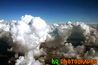
#130 — Puffy clouds and blue sky on a beautiful day flying into Phoenix, Arizona. On this day the clouds were exceptionally puffy and it was a site to see!
Blue Sky & Puffy Clouds taken from Above

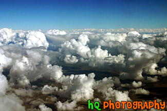
#25 — A scenic photo of puffy clouds taken from an airplane flying into Phoenix, Arizona. This picture was taken looking out of the airplane window. The clouds were especially puffy on this day and was a site to see.
Puffy Clouds Aerial View

#224 — A pretty sunset along the coast of Highway 101 in California just north of Santa Barbara.
Sunset on the 101


#713 — A close up picture taken of a slice of ripe seedless watermelon taken at a diagonal view with a white background.
Slice of Watermelon


#695 — A close up picture taken of a side view of a red tomatoe with a green stem.
Side View of Tomatoe


#707 — A close up picture taken of a fresh watermelon slice with a white background.
Watermelon Slice


#1210 — A close up picture taken of the front side of a yellow school bus. The number of this school bus is 132.
Side Front View of School Bus

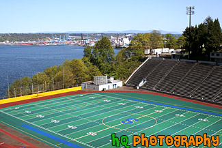
#1062 — A scenic picture taken of the Stadium High School football field and the Commencement Bay located in downtown Tacoma, Washington.
Stadium High School Football Field & Sound

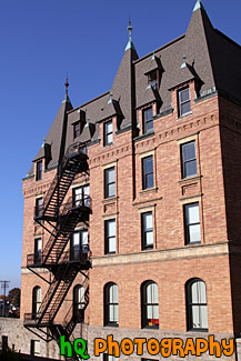
#1334 — A scenic picture taken of the side of part of Stadium High School which is located in Tacoma, Washington. This picture was taken on a sunny day with blue sky seen in the background.
Stadium High School Side of Building

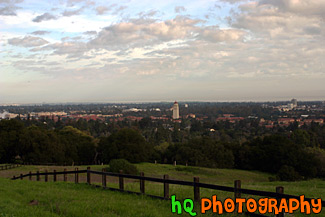
#330 — A scenic view of Stanford University taken from a hill up high just behind the campus. From this picture you can see Hoover Tower amongst all the other scenic buildings of Stanford University.
View of Stanford University from Hill

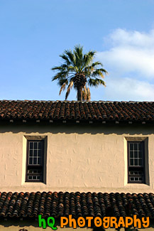
#796 — An interesting picture taken of the side of the Mission Santa Clara de Asis with a palm tree in the background. Mission Santa Clara de Asis is located at Santa Clara University and is a very beautiful site to see. At the center of the campus is the Mission Santa Clara de Asis, surrounded by the roses and palm trees of the historic Mission Gardens.
Palm Tree & Santa Clara Mission

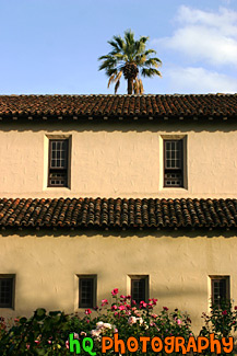
#349 — This picture was taken of the Mission Santa Clara de Asis from the side of it with a picture of a palm tree in the background. Mission Santa Clara de Asis is located at Santa Clara University and is a very beautiful site to see. At the center of the campus is the Mission Santa Clara de Asis, surrounded by the roses and palm trees of the historic Mission Gardens.
Side View of Santa Clara Mission Church
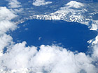

#8 — A scenic sky picture taken of Crater Lake which is located in Oregon State. Crater Lake is the deepest lake (1,949 ft or 594 m) in the United States. It is is filled with rain and melted snow that fell within the caldera basin. Crater Lake is isolated from surrounding streams and rivers, so there is no inlet or outlet to the lake. This picture was taken when there was still plenty of snow surrounding the lake.
Aerial View of Crater Lake, Oregon

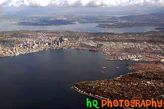
#258 — This is an aerial view of Seattle, Washington taken from an airplane flying into the SeaTac Airport. From this photo you can see the city of Seattle, the tall buildings, the Space Needle, and the bay and water. You can also see the Seahawks and the Mariner's stadiums. From this photo you can actually see it ALL! You can see I90, 520, Lake Washington, and Lake Sammamish in the far distance!
Aerial View of Seattle, Washington

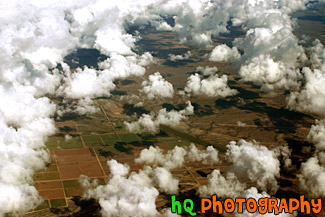
#115 — This photo is a scenic aerial shot taken over the land around Phoenix, Arizona as the plane was getting ready to land at the airport. In this photo you can see the scenic land through all the puffy clouds.
Aerial Arizona & Clouds

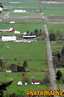
#1006 — A scenic aerial picture taken of a couple farms and farmland located in the small town of Enumclaw, Washington. This picture was taken from up Mt. Peak which is a popular local hike that people do for a great workout.
Aerial Farmland View

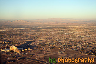
#1843 — A scenic aerial picture taken of the city of Las Vegas on a sunny evening. You can see the desert land in this picture.
Aerial View of Las Vegas

#171 — This is an aerial shot of Maui, Hawai'i as the plane was leaving the airport.
Aerial View of Maui, Hawaii

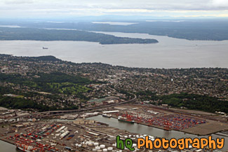
#1883 — A scenic aerial picture taken of the Puget Sound area in Washington State. This picture was taken on an overcast, cloudy day.
Aerial View of Puget Sound

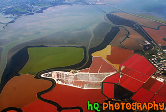
#310 — A scenic picture taken from an airplane of the bay area of San Francisco, California. In this photo you can see the colored waters of the bay area as the plane fly's north over it.
Aerial View of San Francisco Bay
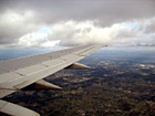

#9 — Aerial picture taken of an airplane wing while flying into the Seatac Airport in Seattle / Tacoma, Washington. This photo was taken from the airplane as it was getting ready to land. You can see the landscape of Washington State below the wing.
Airplane Wing


#555 — A scenic picture taken of an airplane's wing from looking out of the passenger window. Blue sky and clouds are seen in the photo.
Airplane's Wing

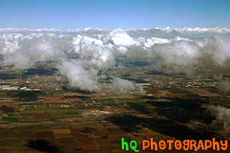
#274 — This is a scenic aerial photo taken over Phoenix, Arizona on the way to landing at the airport. In this photo you can see the landscapes of Arizona as well as the puffy clouds in the sky.
Arizona Aerial View with Puffy Clouds

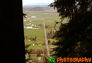
#70 — A scenic aerial picture view of the country land of Enumclaw, Washington looking down from Mt. Peak. You can see the countryside and farms while looking through some evergreen trees.
Country Land of Enumclaw, Washington

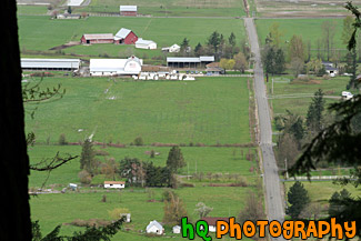
#1007 — A scenic picture looking down at a farm in Enumclaw, Washington from a trail on Mt. Peak. Mt. Peak is a popular hiking trail that the locals of Enumclaw go up for a great workout.
Farm View from Mt. Peak

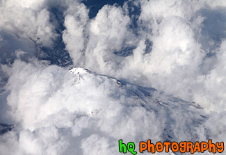
#1864 — An aerial picture taken of a mountain from an airplane. This mountain has snow covering it and is barely visible through the clouds.
Looking Down at Mountain Top

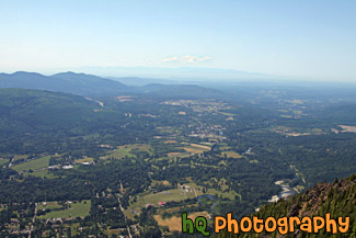
#2008 — A scenic aerial photo taken of Western Washington and the Puget Sound area from the top of Mt. Si which is located in North Bend.
Looking Down From Mt. Si

#10 — This is a scenic photo overlooking the country land of Enumclaw, WA on a snowy, icy day. This picture was taken on the trail of Mt. Peak. Mount Peak is a popular hike many people of Enumclaw and the surrounding cities go on. The hike is about 1 mile up to the top of the peak to where you can view almost the entire city of Enumclaw. Enumclaw is a small town located about 30 miles from Mt. Rainier and about 50 minutes southeast of Seattle. Most of Enumclaw's land consists of farms and fields with many houses containing acres of land.
Mt. Peak Snow View

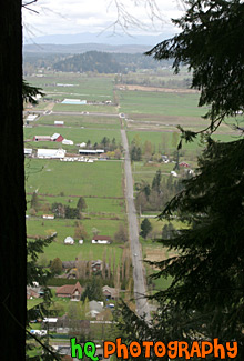
#71 — A scenic aerial view picture taken of the country land and farms of Enumclaw, Washington while looking down from Mt. Peak. Mt. Peak is a popular hiking site for the locals around this area.
Mt. Peak View of Enumclaw Country

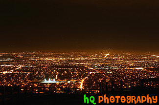
#226 — This shot was taken from South East San Jose, California on the eastern hills during the night time. The shot is overlooking the South Bay and San Jose. In the middle of the photo you can see a football field lit up in the dark.
San Jose Night Lights

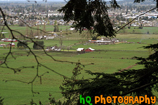
#1009 — An aerial picture taken of some farmland and the small town of Enumclaw located in the background. This picture was taken from a trail on Mt. Peak which is a place where many locals go for a great hike/workout.
View of Farms & Enumclaw


#800 — A beautiful picture taken of the side of Stanford Memorial church located on the Stanford University campus in California. This picture was taken on a sunny day with blue sky. Stanford Memorial Church stands at the center of the campus, and was one of the earliest and is still among the most prominent interdenominational churches in the West. Memorial Church is open to all religions and is non-denominational.
Side View of Stanford Memorial Church

#346 — A scenic view of the Pacific Ocean driving down the coast view on Highway 1 in California. This picture was taken between the cities of Monterey and Santa Barabara by the coast. In this picture you can see the low clouds finishing up fading away from the raise of the sun which makes for a beautiful scene.
Pacific Ocean Scenic Coast

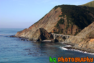
#1773 — A scenic picture taken along the west coast of the Pacific Ocean. In this picture you can see a bridge, the ocean, and the blue sky on this sunny day along the hills seen to the east.
Bridge Along West Coast

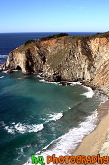
#296 — This is a scenic photo taken along the coast of highway 1 in California. Highway 1 is a highway that runs along the coast of the Pacific Ocean with some breathtaking views.
Coast Along Highway 1, California

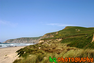
#763 — A scenic picture of a Marin County coastal view located at Kehoe Beach in California. In this picture you can see the green hills and long grass as the wind blows on this beautiful spring day.
Marin County Coast View

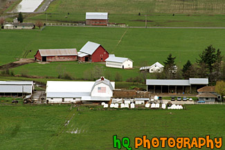
#1005 — A scenic aerial picture of a farm located in the countryside of Enumclaw, Washington. This picture was taken from up the trail at Mt. Peak. Mt. Peak is a popular hike the locals take for a great workout. In this picture you can see a couple farms located on green grass fields.
Aerial View of Farm

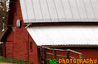
#1001 — A close up picture taken of a red barn with a basketball hoop mounted to the front of it. This barn was photographed in Washington State.
Basketball Hoop on Barn

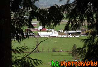
#80 — A scenic picture looking down at a farm through evergreen trees from high up on the trail of Mt. Peak located in Enumclaw, Washington.
Farm Through Trees

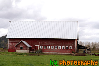
#1004 — A scenic picture taken of the side of a red barn located on a farm in Enumclaw, Washington. This photograph was taken on a cloudy day.
Side of Red Barn

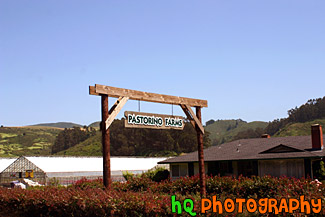
#214 — A photo of a little ranch or farm that is located in the hills of Half Moon Bay, California.
View of a Ranch at Half Moon Bay

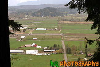
#1017 — A scenic picture taken looking down at a couple farms and country land located in the small town of Enumclaw, Washington. This photo was taken from one of the popular hiking trails of Mt. Peak.
View of Country Land

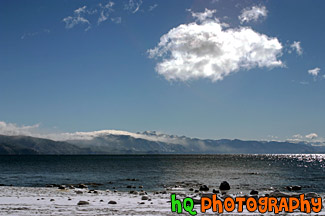
#285 — Beautiful scenic view of lake tahoe taken right after a snow storm. This photo is gorgeous because of the blue skies contrasting the freshly fallen snow covereing the shore and beach.
Beautiful Lake Tahoe Snow View
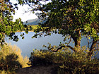

#46 — A photo of a lake looking through some trees and branches. This photo was taken at a campground in Northern California.
Lake & Scenic Trees
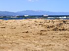

#195 — A pretty view at Lake Tahoe during July 2004. Lake Tahoe is the second deepest lake in the United States and the tenth deepest in the world, with a maximum depth measured at 1,645 ft (501 m), average depth of 1,000 ft (305 m). The Lake Tahoe Basin was formed by geologic block (normal) faulting about 2 to 3 million years ago. A geologic block fault is a fracture in the Earth's crust causing blocks of land to move up or down. Snow, rain, and streams filled the southern and lowest part of the basin, forming the ancestral Lake Tahoe. Modern Lake Tahoe was shaped and landscaped by the scouring glaciers during the Ice Age. Many streams flow into Lake Tahoe, but the lake is drained only by the Truckee River, which flows northeast through Reno and into Pyramid Lake in Nevada.
Lake Tahoe - Sand & Boats
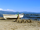

#197 — A pretty view at Lake Tahoe of a sand castle and boat during July 2004. Lake Tahoe is the second deepest lake in the United States and the tenth deepest in the world, with a maximum depth measured at 1,645 ft (501 m), average depth of 1,000 ft (305 m). The Lake Tahoe Basin was formed by geologic block (normal) faulting about 2 to 3 million years ago. A geologic block fault is a fracture in the Earth's crust causing blocks of land to move up or down. Snow, rain, and streams filled the southern and lowest part of the basin, forming the ancestral Lake Tahoe. Modern Lake Tahoe was shaped and landscaped by the scouring glaciers during the Ice Age. Many streams flow into Lake Tahoe, but the lake is drained only by the Truckee River, which flows northeast through Reno and into Pyramid Lake in Nevada
Lake Tahoe - Sand Castle & Boat
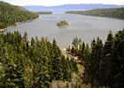

#19 — View of Lake Tahoe from high in the mountains looking over Emerald Bay. Lake Tahoe is the second deepest lake in the United States and the tenth deepest in the world. The Lake Tahoe Basin was formed by geologic block (normal) faulting about 2 to 3 million years ago. Snow, rain, and streams filled the southern and lowest part of the basin, forming the ancestral Lake Tahoe. Modern Lake Tahoe was shaped and landscaped by the scouring glaciers during the Ice Age. Many streams flow into Lake Tahoe, but the lake is drained only by the Truckee River, which flows northeast through Reno and into Pyramid Lake in Nevada.
Lake Tahoe and Emerald Bay

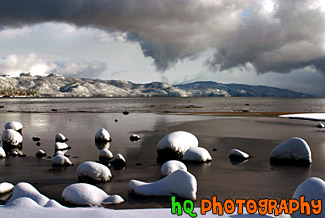
#284 — A scenic picture taken of Lake Tahoe right after a huge snow storm. Interesting and dramatic clouds are hovering in the skies above Lake Tahoe along with snow covering the rocks on the shore. On this particular day there was about a foot of snow that dropped down from the skies. A beautiful picture of what it is like in the winters at Lake Tahoe.
Lake Tahoe Clouds and Snow
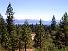

#199 — A pretty view at Lake Tahoe looking through the trees of the mountains during July 2004. Lake Tahoe is the second deepest lake in the United States and the tenth deepest in the world, with a maximum depth measured at 1,645 ft (501 m), average depth of 1,000 ft (305 m). The Lake Tahoe Basin was formed by geologic block (normal) faulting about 2 to 3 million years ago. A geologic block fault is a fracture in the Earth's crust causing blocks of land to move up or down. Snow, rain, and streams filled the southern and lowest part of the basin, forming the ancestral Lake Tahoe. Modern Lake Tahoe was shaped and landscaped by the scouring glaciers during the Ice Age. Many streams flow into Lake Tahoe, but the lake is drained only by the Truckee River, which flows northeast through Reno and into Pyramid Lake in Nevada.
Lake Tahoe Through Trees
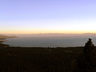

#205 — A pretty view at Lake Tahoe during July 2004. Lake Tahoe is the second deepest lake in the United States and the tenth deepest in the world, with a maximum depth measured at 1,645 ft (501 m), average depth of 1,000 ft (305 m). The Lake Tahoe Basin was formed by geologic block (normal) faulting about 2 to 3 million years ago. A geologic block fault is a fracture in the Earth's crust causing blocks of land to move up or down. Snow, rain, and streams filled the southern and lowest part of the basin, forming the ancestral Lake Tahoe. Modern Lake Tahoe was shaped and landscaped by the scouring glaciers during the Ice Age. Many streams flow into Lake Tahoe, but the lake is drained only by the Truckee River, which flows northeast through Reno and into Pyramid Lake in Nevada.
Overall View of Lake Tahoe

#202 — A pretty view at Lake Tahoe during July 2004. Lake Tahoe is the second deepest lake in the United States and the tenth deepest in the world, with a maximum depth measured at 1,645 ft (501 m), average depth of 1,000 ft (305 m). The Lake Tahoe Basin was formed by geologic block (normal) faulting about 2 to 3 million years ago. A geologic block fault is a fracture in the Earth's crust causing blocks of land to move up or down. Snow, rain, and streams filled the southern and lowest part of the basin, forming the ancestral Lake Tahoe. Modern Lake Tahoe was shaped and landscaped by the scouring glaciers during the Ice Age. Many streams flow into Lake Tahoe, but the lake is drained only by the Truckee River, which flows northeast through Reno and into Pyramid Lake in Nevada.
Shadow over the Mountains, Lake Tahoe

#201 — A pretty view at Lake Tahoe during July 2004. Lake Tahoe is the second deepest lake in the United States and the tenth deepest in the world, with a maximum depth measured at 1,645 ft (501 m), average depth of 1,000 ft (305 m). The Lake Tahoe Basin was formed by geologic block (normal) faulting about 2 to 3 million years ago. A geologic block fault is a fracture in the Earth's crust causing blocks of land to move up or down. Snow, rain, and streams filled the southern and lowest part of the basin, forming the ancestral Lake Tahoe. Modern Lake Tahoe was shaped and landscaped by the scouring glaciers during the Ice Age. Many streams flow into Lake Tahoe, but the lake is drained only by the Truckee River, which flows northeast through Reno and into Pyramid Lake in Nevada.
Sky, Mountains, and Sunset of Lake Tahoe

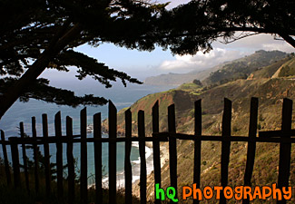
#295 — This is a scenic photo that was taken along the coast of the Pacific Ocean along Highway 1 in California. This photo looks through a fence down at the coast and Pacific Ocean. Highway 1 is a coastal highway running down the coast of California.
Pacific Ocean View Through Fence

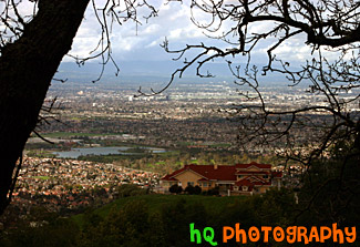
#319 — A scenic picture taken a top a hill in East San Jose overlooking the entire city. This picture shows a scenic house amongst the view of the city. From this aerial photo you can see the buildings of San Jose, the airport, and the amazing view that this multi-million dollar home also sees.
Scenic View of San Jose From A Hill

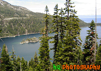
#22 — A photo up high in the Mountains of Lake Tahoe overlooking the Lake Tahoe and Emerald Bay. Green trees can be see in the foreground and the sky looks to be overcast.
Mountains of Lake Tahoe

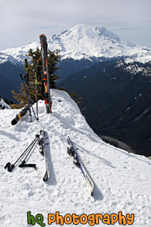
#2236 — A scenic vertical picture taken of some skis stuck in the snow at the summit of Crystal Mountain with an amazing view of Mt. Rainier seen in the background.
Mt. Rainier & Skis at Crystal Mountain Summit

#164 — A beautiful picture of Mt. Rainier shot during the beginning of June. This photo was taken near Paradise in Mt. Rainier's National Forest. "The Mountain", as it's known by natives, draws your eyes like a magnet when it is visible and not invisible behind clouds. It also draws over two million visitors each year. Mount Rainier and the surrounding foothills were designated as a national park in 1899. On clear days, Mount Rainier dominates the Seattle - Tacoma skyline, towering over the metropolis in breathtaking beauty. Mount Rainierís highest elevation is 14,410 feet which is located at the summit, also called Columbia Crest. The glaciers on Mount Rainier are the sources of five major river systems: Nisqually, Cowlitz, White, Carbon, and Puyallup. These rivers provide water for plants, animals, and humans throughout western Washington.
Blue Sky & Mt. Rainier


