Photos of Mt. Si Aerial View (4)
There are (4) photos of the keyword, Mt. Si Aerial View, available on our website. They are pictured below.The pictures are organized by category.
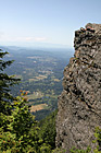
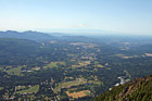
#70 — A scenic aerial picture view of the country land of Enumclaw, Washington looking down from Mt. Peak. You can see the countryside and farms while looking through some evergreen trees.
Country Land of Enumclaw, Washington
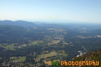
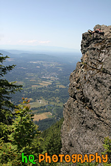
#2008 — A scenic aerial photo taken of Western Washington and the Puget Sound area from the top of Mt. Si which is located in North Bend.
Looking Down From Mt. Si
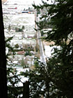
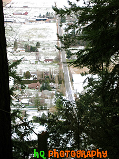
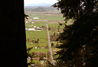
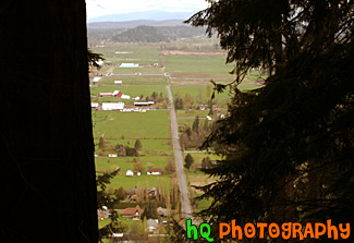
#10 — This is a scenic photo overlooking the country land of Enumclaw, WA on a snowy, icy day. This picture was taken on the trail of Mt. Peak. Mount Peak is a popular hike many people of Enumclaw and the surrounding cities go on. The hike is about 1 mile up to the top of the peak to where you can view almost the entire city of Enumclaw. Enumclaw is a small town located about 30 miles from Mt. Rainier and about 50 minutes southeast of Seattle. Most of Enumclaw's land consists of farms and fields with many houses containing acres of land.
Mt. Peak Snow View